

Difficulty: Class 3
Exposure: Top 600' to summit
Summit: 14,017'
Elevation Gain: 3800'
Round Trip: 10 miles
Trailhead: Rock of Ages (Silver Pick)
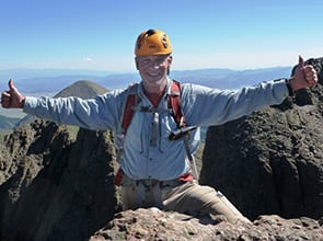
Climbers: Rick Crandall; Rick Peckham July 29, 2016
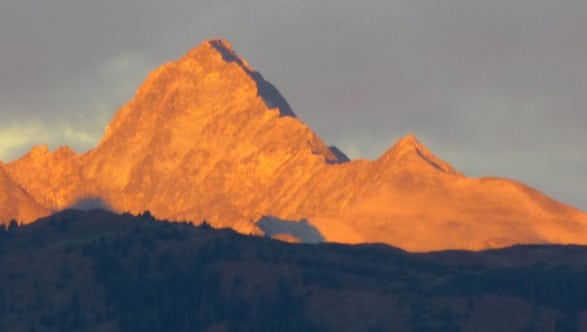
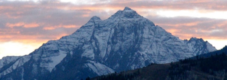
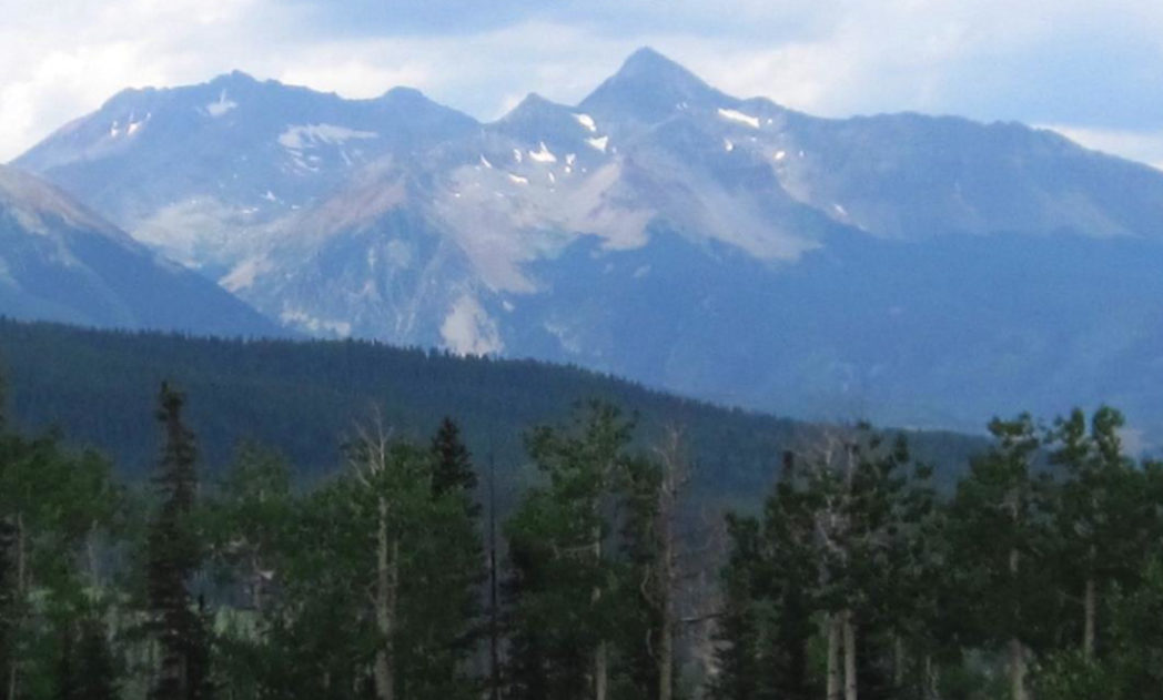
Wilson Peak is one of Colorado's more iconic mountains, ranking with Pyramid, Maroon Bells and Capitol in the Aspen area and with nearby Mt. Sneffels, in each case due to their individual prominence. Wilson Peak strikes a mighty profile over the Telluride area.

Photo of Wilson Peak from Telluride (from By Hogs555 – Own work, CC BY-SA 3.0, https://commons.wikimedia.org/w/index.php?curid=20312012)
Wilson Peak is a frightfully beautiful mountain. The aspen forests below set the wilderness on fire come autumn. The grey and white rock, (granodiorite a form of granite, see later in this story) makes up the shifting terrain and positions the mountain into an imposing relief against the blue Colorado sky.
Wilson Peak was named after A.D. Wilson who was, in 1874, the chief topographer and cartographer on the famous Hayden Surveys. Wilson Peak lies within the Lizard Head Wilderness in the San Juan National Forest and the Uncompaghre National Forest Area.
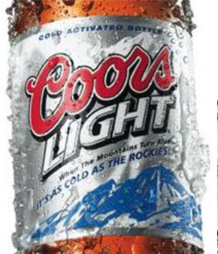
Wilson Peak is even more easily recognized and familiar for another reason, it figures prominently on the Coors beer labels and products! Adolf Coors choose this mountain to represent his beer in 1873.
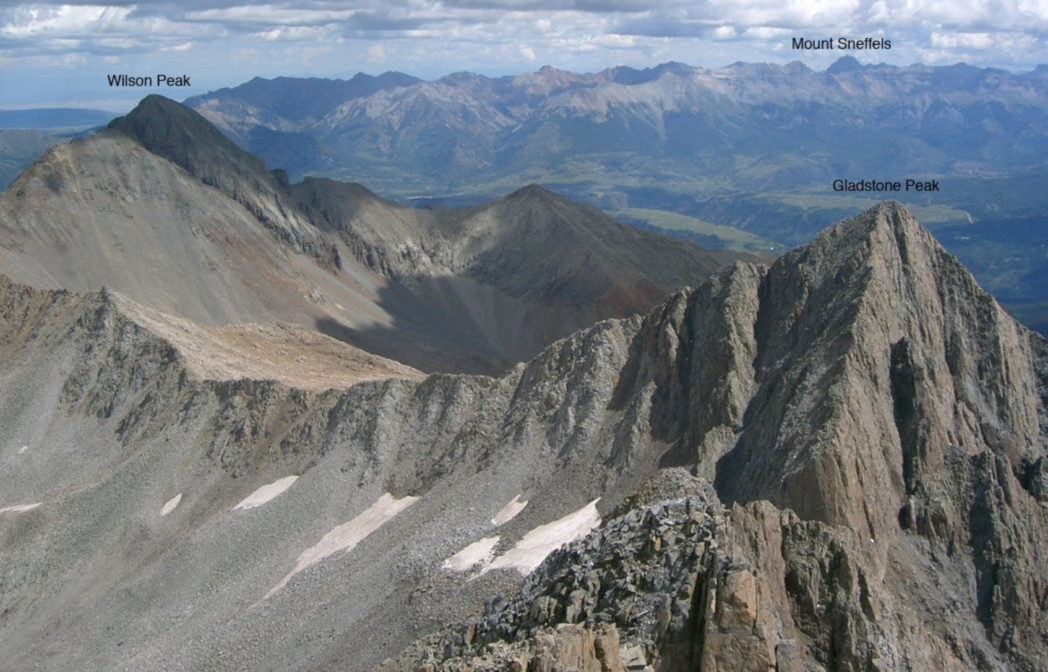
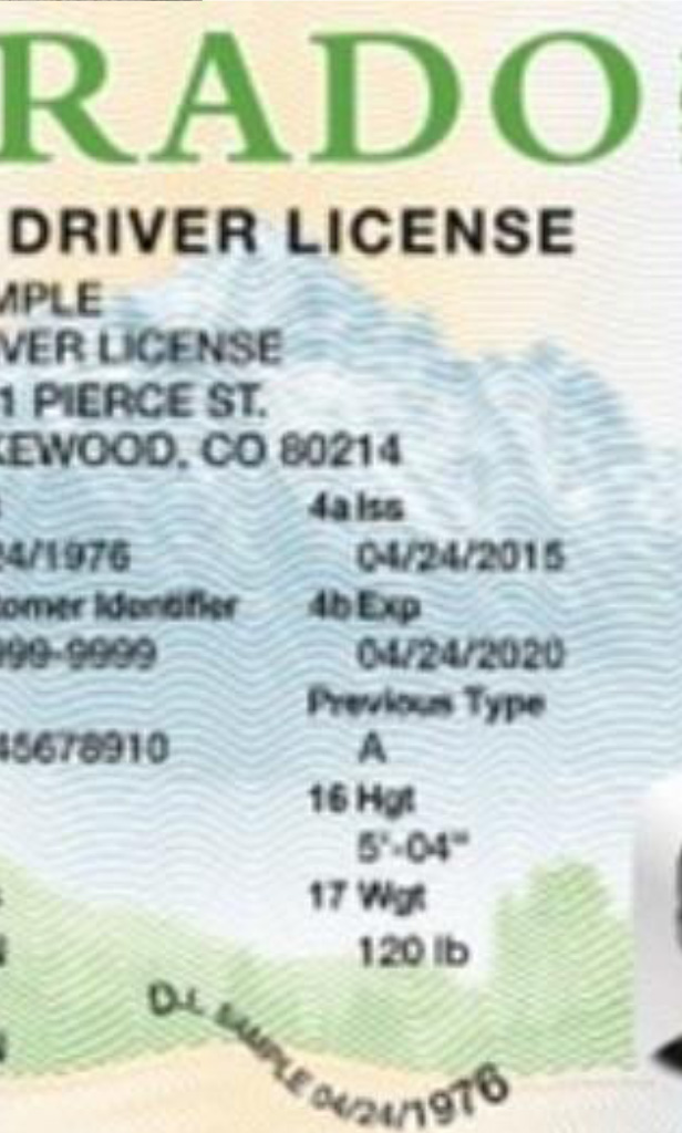
Here Wilson Peak is on the left, but in the far background, also in the San Juan Range, is Mt. Sneffels, another 14er that is now the background photo on the new Colorado driver license.
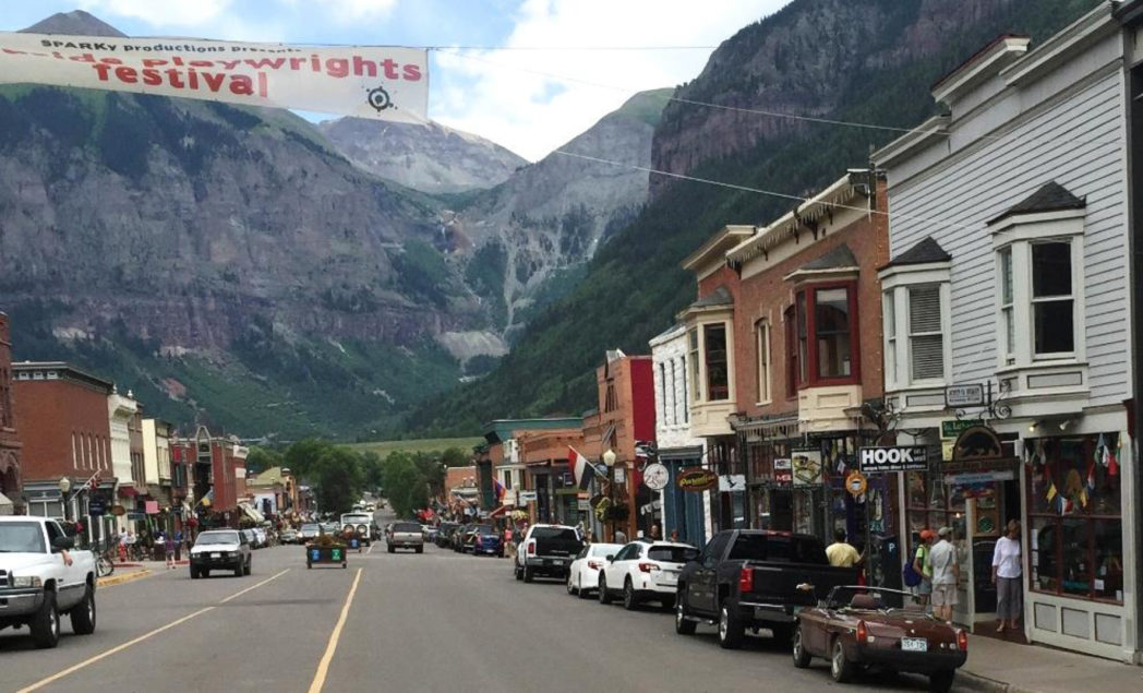
Telluride
On the way from Aspen, we diverted just 11 miles before heading towards trailhead to visit Telluride, the most important town in the San Miguel Valley. Telluride is a former mining camp in the western San Juan Mountains. The first gold mining claim was made in the mountains above town in 1875 and then Telluride was founded in 1878. The town sits in a box canyon. Much of the town is an Historic District with many authentic buildings, It is one of Colorado's 20 National Historic Landmarks. In 1889 Butch Cassidy robbed the San Miguel Valley Bank in Telluride netting $24,580 as his first recorded crime. Skiing came to town with the first lift built in 1972. Telluride population is 2325 souls and is located at 8750'. Today it is most known for skiing and many festivals held almost weekly all summer.
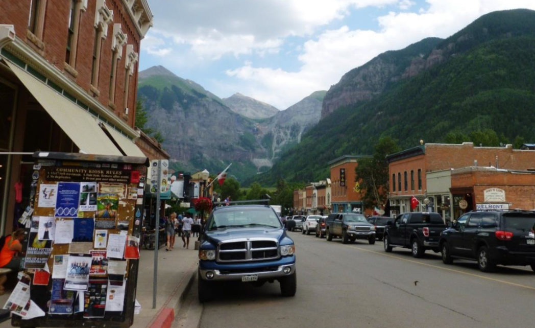
I was impressed with the buildings, but not so impressed with how many of them are littered with tourist souvenirs, T-shirts and similar clutter.
We left town at about 5pm to get to trailhead, hoping for a good camp site.
Campsite - Rock of Ages Trailhead
We found a great campsite just yards from the trailhead. It had a fire ring and plenty of wood - luxury!
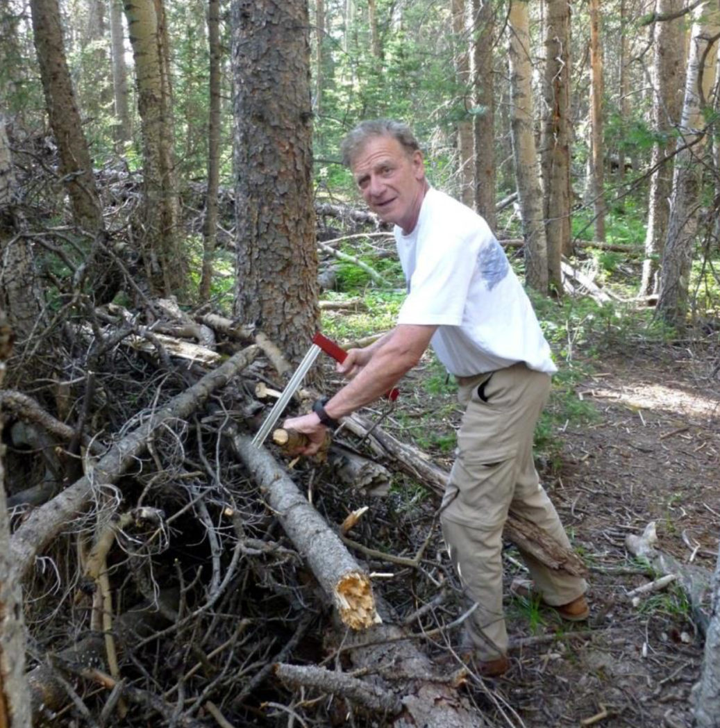
Rick C. cutting logs with our portable, folding saw. Normally Rick P. would have this honor, but he was showing signs of altitude sickness - a foreshadowing of bigger issues to come.
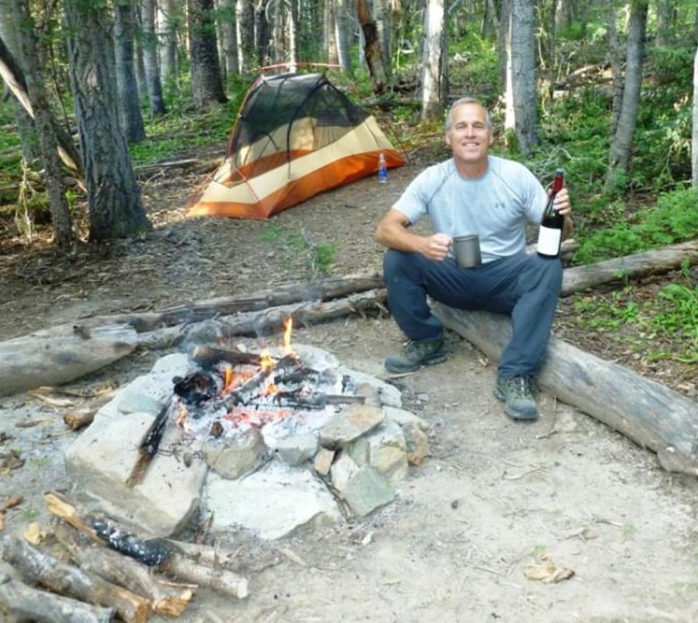
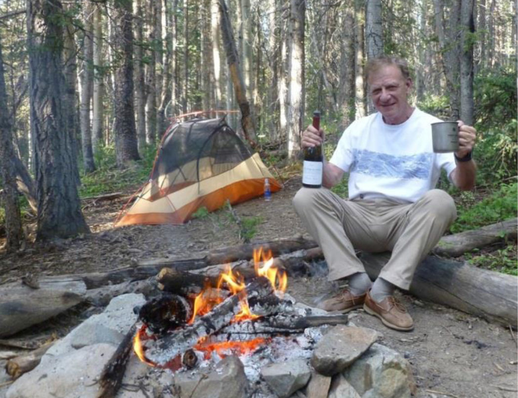
We always have a good wine for dinner and Rick P. just had to sip on some of it (Walter Hansel Pinot Noir) despite his headache. The evening temperature and total lack of wind made it so comfortable we didn't even mount our tent covers - we had just netting overhead with the clear stars in the sky above.
Next Morning - the Climb
We were up at 4:00am the next morning and on the trail by 4:20am, in the dark with headlamps guiding the way.
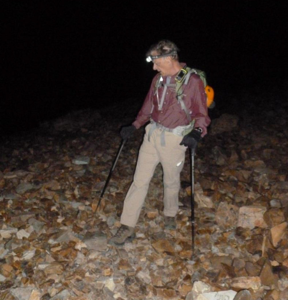
As dawn approached there were continuing signs Rick P. hadn't adjusted yet to altitude from his recent trip down from his Anchorage, Alaska home. He trudged on, headache and all - both of us hoping he'd adjust during the day.
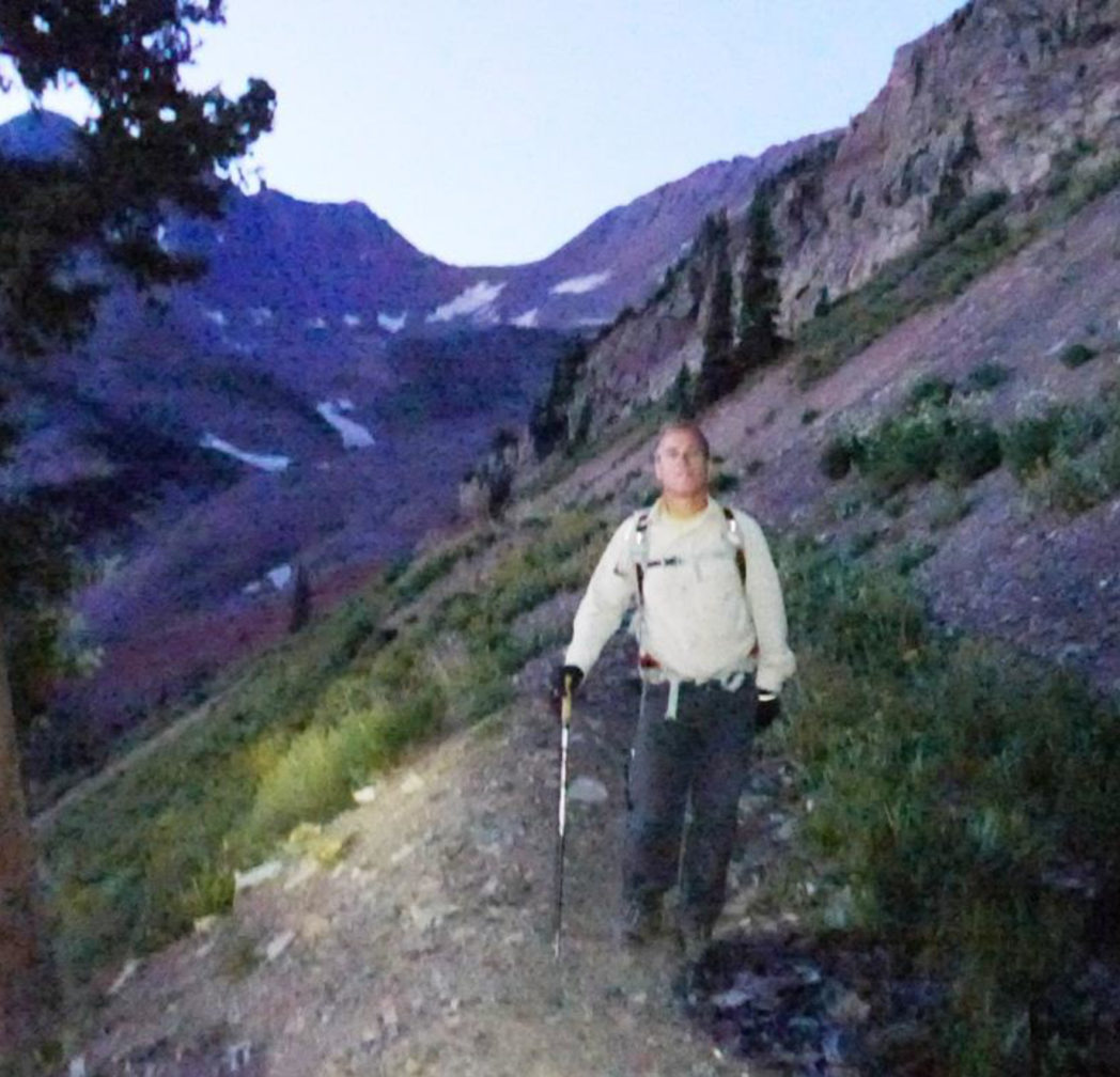
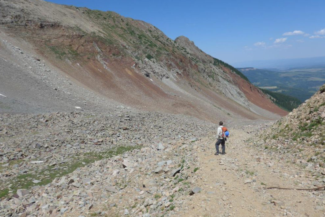
The first target was to hike about 4.25 miles and 2600' up to a well-known saddle called Rock of Ages. Many say this is the most direct route to Wilson Peak, but compared with another approach, camping at Navajo Lake, I didn't like this as much. The switchbacks have very long zig-zags adding almost a mile and 800' vertical to the climb and the route is mostly unattractive rock.
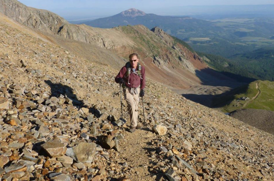
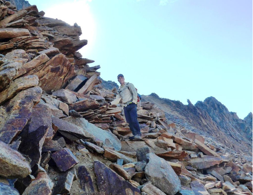
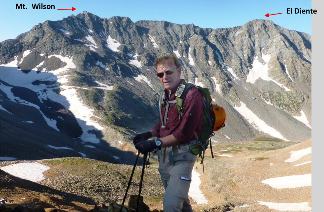 Rick nearing the Rock of Ages saddle, with Mount Wilson and El Diente as a backdrop.
Mt. Wilson is the last remaining 14er in the top 8 of difficulty yet ahead of me.
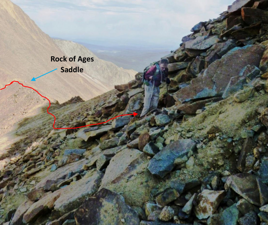
We reached the saddle at 13,000' at about 8:15am, 4 hours from camp site. Our next target was a small saddle 400' higher on a ridge leading towards the Wilson Peak summit approach.
 Rick P. was always ahead, finding trail segments through increasingly loose and rocky terrain. He'd already contributed his breakfast to the rocks, which he said gave some temporary relief, but only temporary.
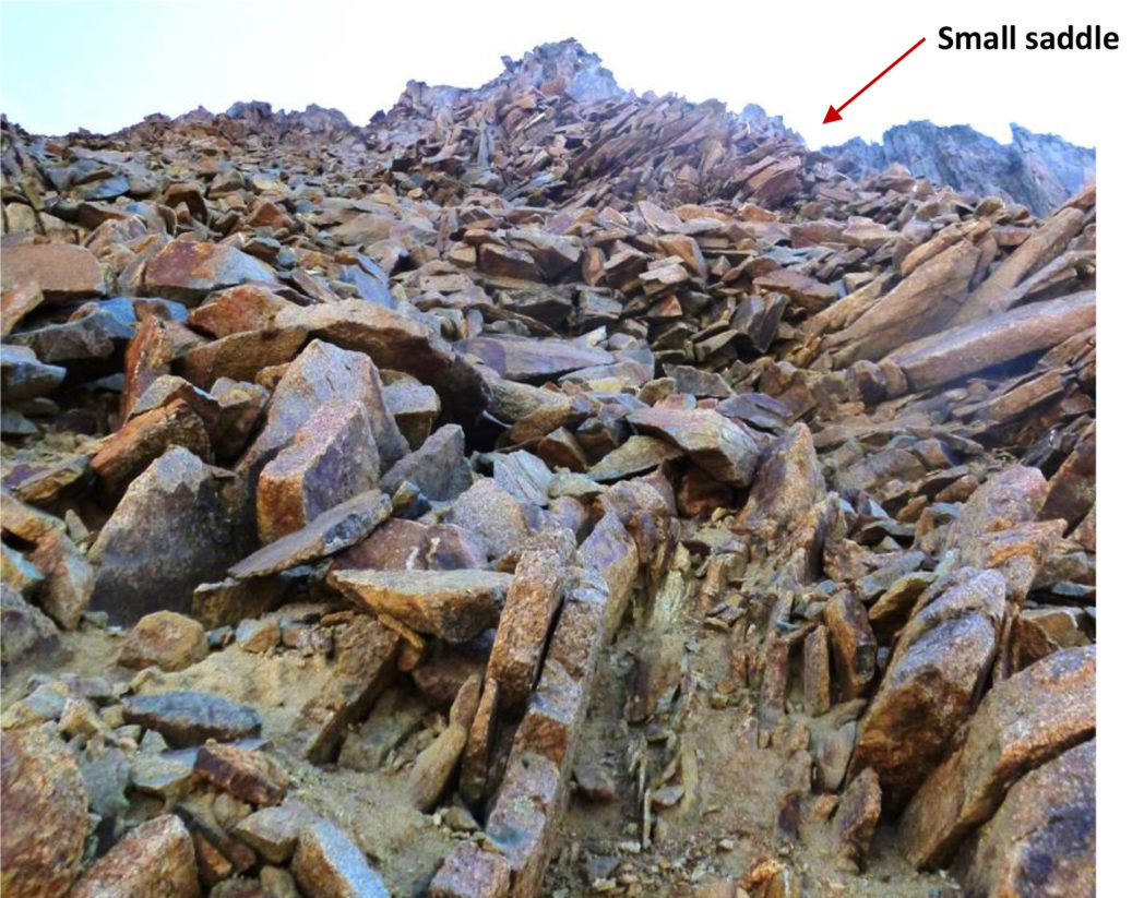
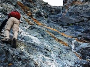
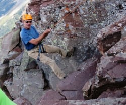
We reached the small saddle at 13,400' where the Class 3 climbing began. We needed to navigate down, around a point and then head back up to the Southwest ridge of Wilson Peak.
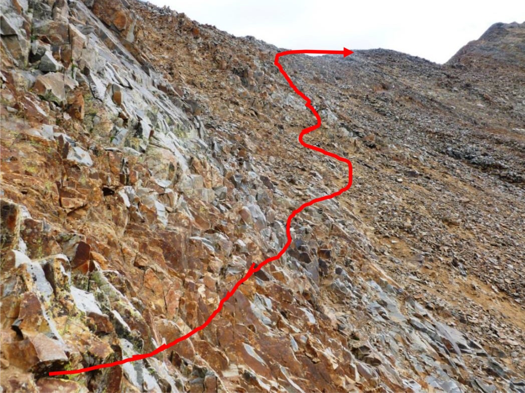
It was here at about 13,450', just 550' from summit that I turned around and saw thickening clouds I didn't like. It was still early in the day and unlikely these would develop electrical, but the way down from here had no cover for hours.

I called out to Rick P. who was still ahead of me. When he turned to face me, I saw that his face was gray. That concerned me even more than the clouds, because I knew that to be a sign of unacceptably low oxygen saturation. He'd been trying to push forward to get me to summit, but the consequences of escalating altitude sickness are not worth any summit, so I called the turn.
We headed down.
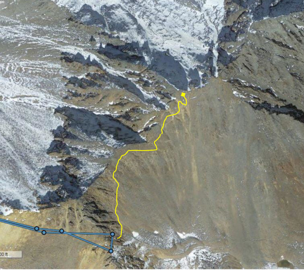
The blue line and dots are my DeLorme satellite tracks of where we got to and our turn-around. The yellow line is what we had left to summit - while "only" 550' of vertical, the upper part was Class 3 climbing and would have taken me another hour. That increase in vertical could have had dangerous effects on Rick P.
This is my 12th time turning around before summiting a 14er. I've since gained the summit on 11 of them.
For me, the whole climb experience of these mountains is the fun, beauty and connection with pure nature. Summiting on each outing is not important enough to take un-necessary risks.
I never feel regret in not summiting.
 Here I am back at the Rock of Ages saddle, 13,000'.
We made our way down and as we descended I was hoping Rick P. would start feeling better. Unfortunately that was not to be and he fought a splitting headache all the way down.
Rick P. at about 12,500' near the area of the 125 year-old Silver Pick Mine that, despite its name, was a gold mine 120 years ago. He was much more interested in getting down than getting in a photo.
The Silver Pick Mine and Gold!!
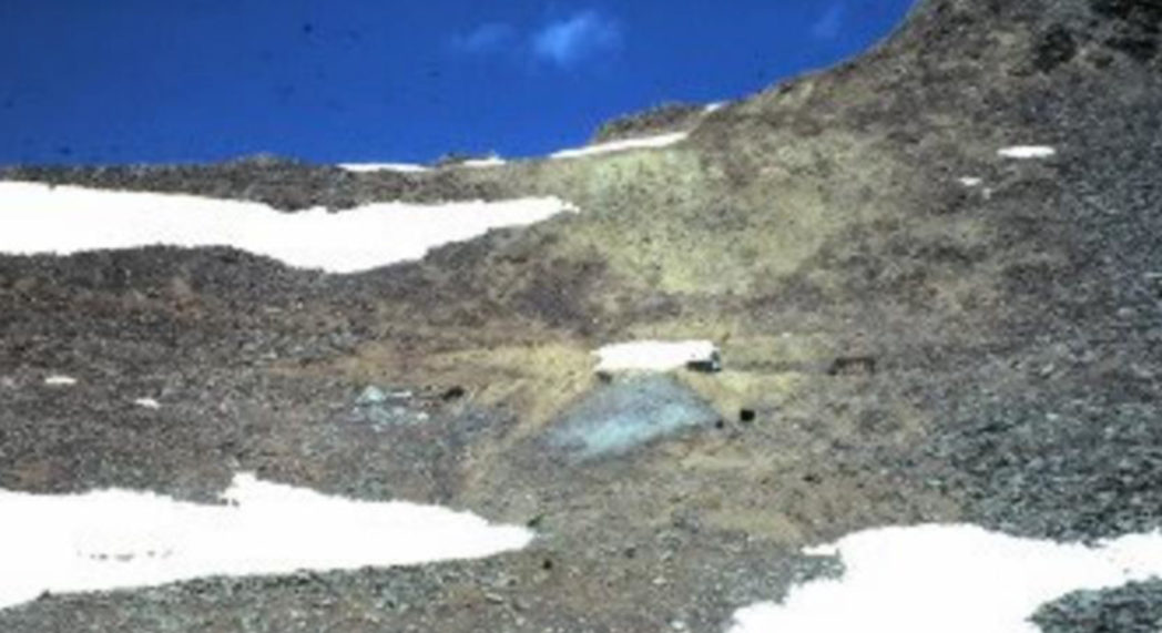 The dark spots are mine entrances - Silver Pick Mine area
The Silver Pick Mine and Champion Belle Mine were two of the better known ore loads in the local San Miguel County. Between 1875 and 1959 San Miguel County produced 3,837,000 gold ounces, to become the third-ranking county in Colorado in gold production. The Silver Pick Mine was a major producer of lode gold in the area.
Wilson Peak Host Stock: Granodiorite; Deposit Model: 72: Polymetallic replacement.
Prospecting for lode deposits of gold is not the relatively simple task it once was because most outcrops or exposures of mineralized rock have been examined and sampled. Today’s prospector must examine broken rock on mine dumps and exposures of mineralized rock in accessible mine workings - not a high payoff activity.
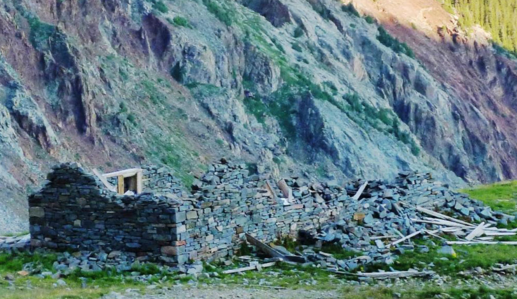
Nearby mining "shack" - this one made of stone.
Finding Gold
Why have I given this detail? Well wouldn't you know it, after wandering around 54 fourteeners and countless other hikes around the state for the past 8 years, right on the side of our path is a 10" long block of granite infused with gold!! It likely tumbled out of the very kind of "mine dump" mentioned above in the winter-to-spring action of snow melt and rock movement that makes these mountains living masses.
Well, Rick P. was in no mood to take on extra weight, so in my pack it went, despite that we still had about 3 1/2 miles of hiking left to get to the car.
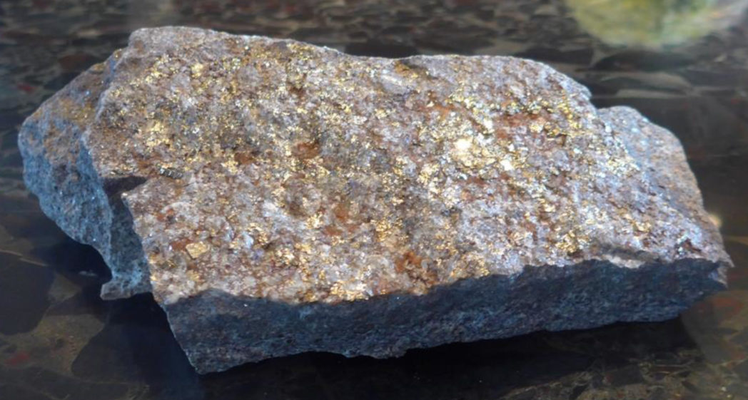
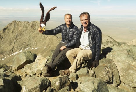
My gold "strike"
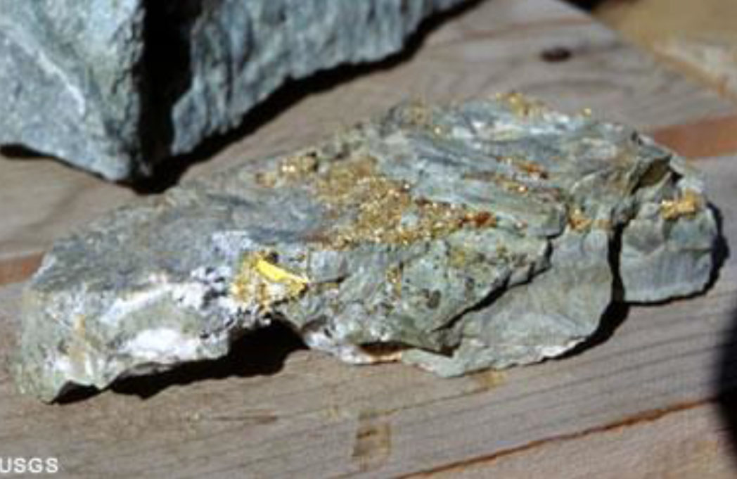 A USGS sample of granite infused with deposited gold.
Naturally as soon as I got home, I researched the Silver Pick Mine. It featured lode gold, actively mined from 1890- 1900. Lode gold occurs when a large mass of molten rock, in this case, granodiorite, rises to the surface from far below, causing fractures. Water, seeping down from the surface reaching high heat and pressure can dissolve many minerals that we think of as insoluble, including gold.
The super-hot and mineral-laden water, rises back towards the surface. As it circulates through the crevices and faults in the rock it deposits many of these minerals due to cooling, and not being able to keep the minerals in solution. Ages of erosion exposes the top of the granite and the fractures to the surface. Erosion releases the gold from the veins and deposits some of it in the streams and rivers in the valley for panhandlers to find. The rest remained in the hard rock veins, to later be discovered and mined.
Granodiorite is classified as granite, rich in quartz, but In contrast, granodiorite contains more of a darker type of feldspar and other dark minerals. Thus it is a darker color than granite.
With the extra weight in my pack, we made it back to tree-line, then, happily, back to the car.
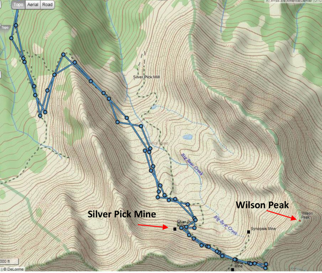
Here is our whole route, with the Silver Pick Mine shown.
About half-way back on the 4-hour drive to Aspen, Rick P. started feeling better - and already plotting how we were going to return to nab the Wilson Peak summit the next time weather permits.
That would complete this story nicely!