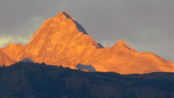

Mt Sherman - a Fourteener in the Mosquito Range Near Historic Fairplay
Difficulty: Class 2
Exposure: Moderate on ridge
Summit: 14,036 feet
Elevation Gain: 2,200'
Roundtrip: 5.5 miles
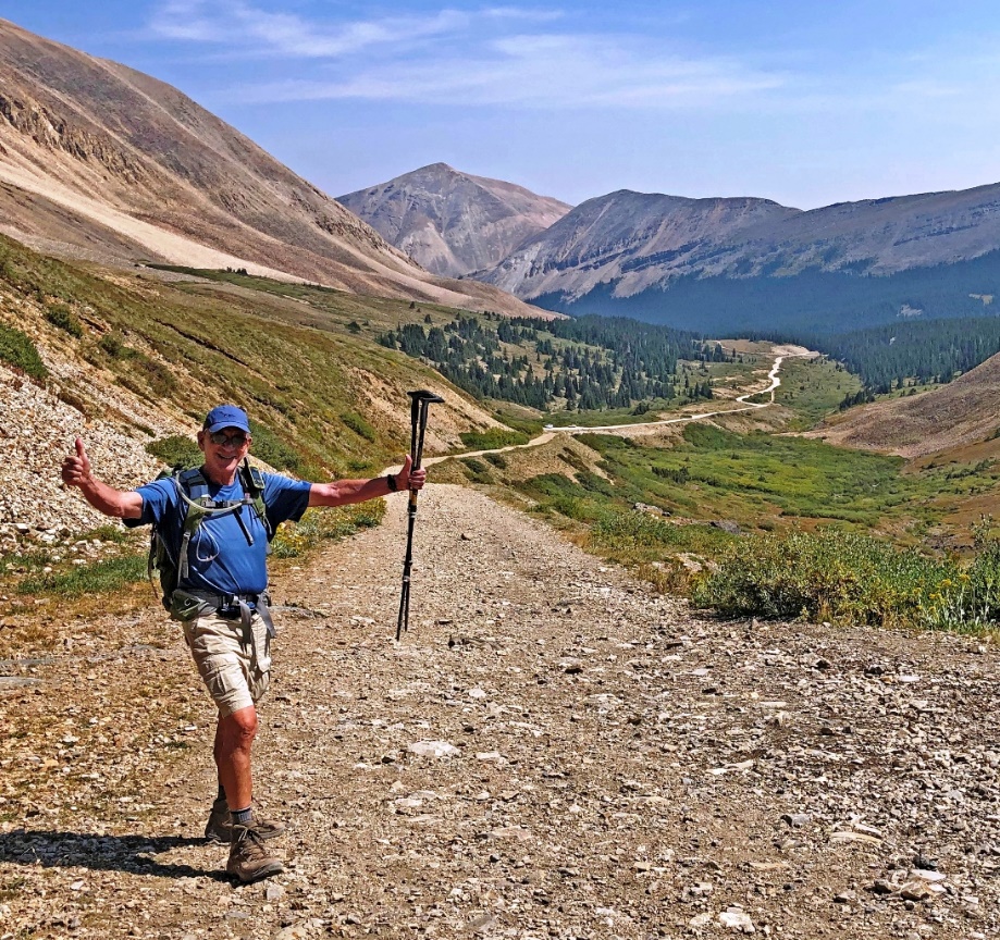
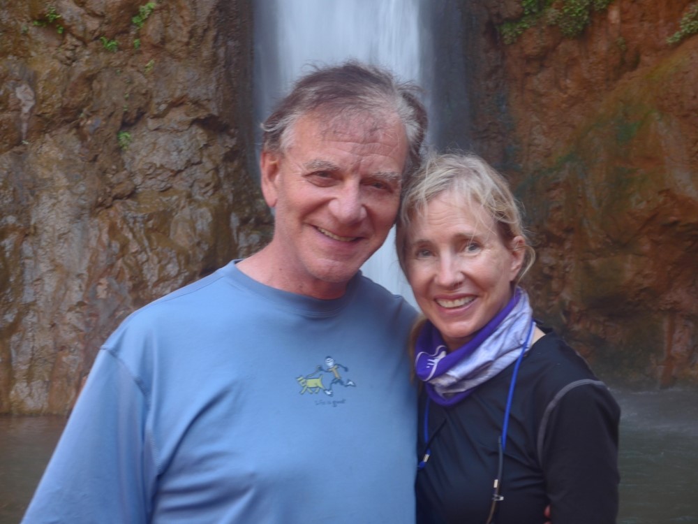
Mount Sherman is a great mountain for someone who hasn't done one in a while as it requires only 2200' of elevation gain but with a long time on a ridge at 13,900'. This was perfect for me since I celebrated my 58th, and I thought last, fourteener four years ago in 2017 but was motivated to do one with Mona.
The last time I was on Sherman was all the way back in 2010 with Emme! That story at: /mt-sherman-14036-southwest-ridge-from-fourmile-creek/
Mount Sherman is named for the Union General William T. Sherman who, during the Civil War, practiced a scorched earth policy while marching to Atlanta in 1854. This mountain unusual in that it is on a mining claim owned by the Day Mine Company in Leadville and we can see that one of the mines is still being worked, while remnants of other mines are visible but decaying.
Mount Sherman is named for the Union General William T. Sherman who, during the Civil War, practiced a scorched earth policy while marching to Atlanta in 1854. This mountain unusual in that it is on a mining claim owned by the Day Mine Company in Leadville and we can see that one of the mines is still being worked, while remnants of other mines are visible but decaying.
To Trailhead
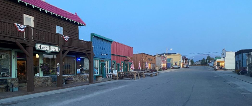
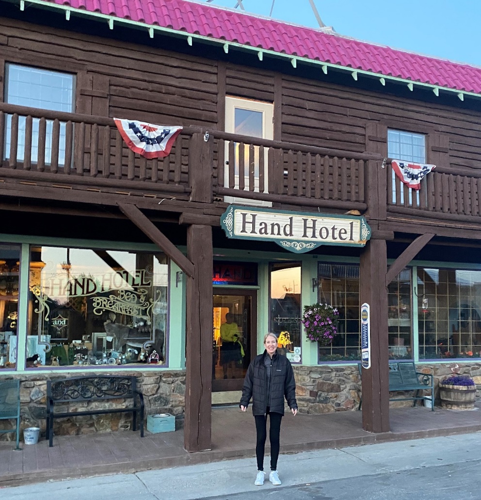
Fairplay at 6:30 am. We stayed at the historic Hand Hotel, now a B & B.
Mona also at 6:30am Rarin' to go.
About a mile out of Fairplay we turned onto a 10 mile off-road that got worse as we went up, but no challenge for my 4Runner TRD PRO.
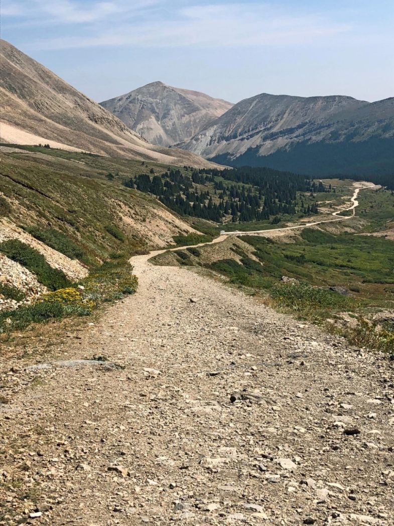
This turned into a gated silver-mining road where we started our hike. Note: no smoke.
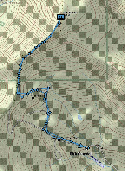
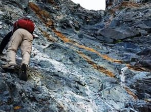
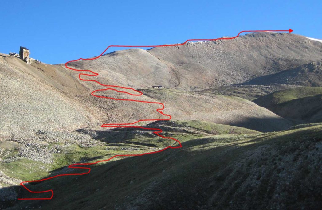
We hit the trail at 7:35am. The temp was 36 degrees and we were walking on ice. But only a half hour later we hit the sunline as it came down the mountain and all was good. The hike is steady uphill past a few mines, the most iconic of which is the "Hilltop Mine" you see on the upper left ... at least you did see it in 2010 when this photo was taken. The full route is in red, the rocky approach ridge gets narrow and exposed but there is an excellent way through it.
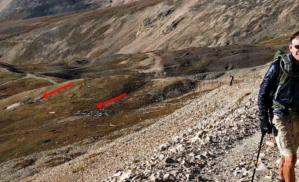
Here is the Hilltop Mine today - all but disintegrated by the high winds.
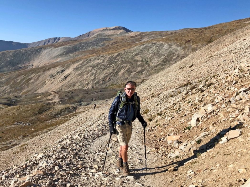
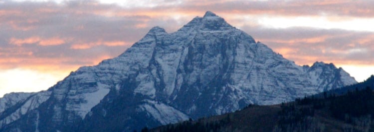
It was remarkably clear in the nearby mountains, and we rejoiced in the blue sky, no threats, and a great trail.
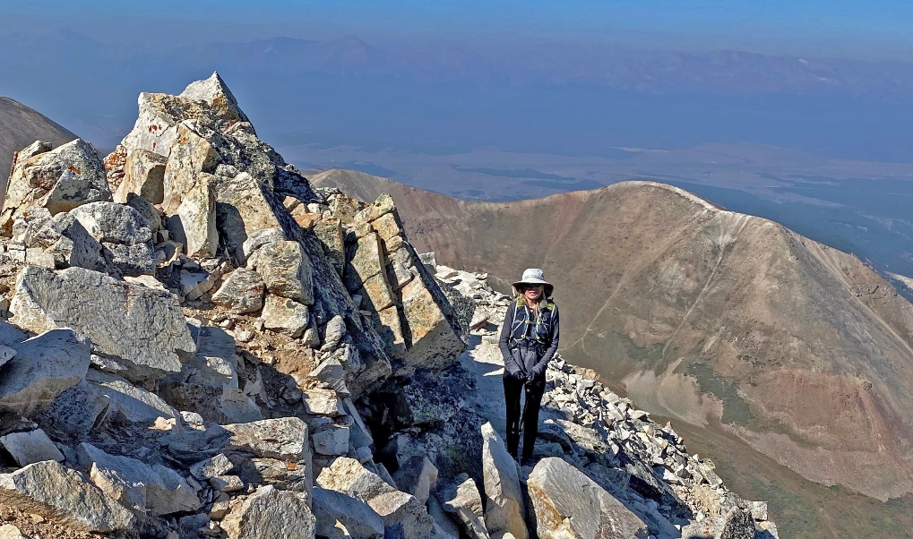
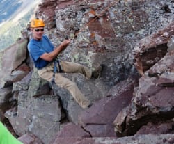
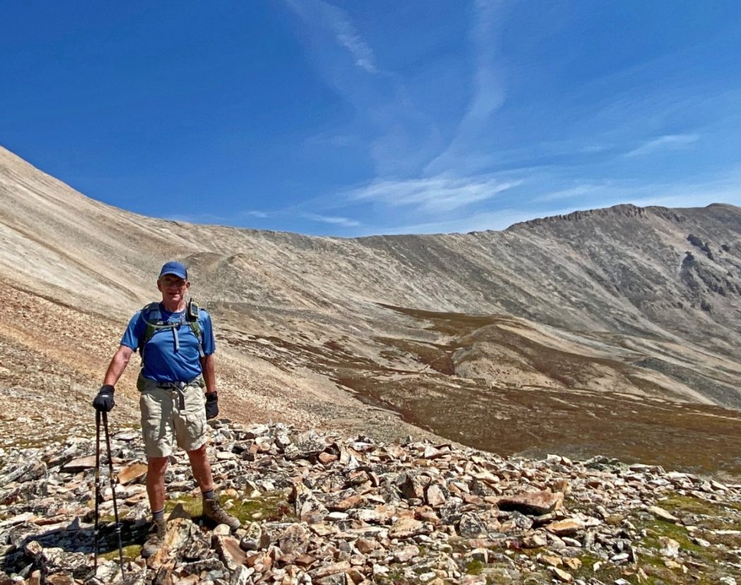
After about 2 1/2 hours of hiking and climbing, we got to the rocky, narrow ridge. Mona says she just kept her eyes on the way ahead and avoided looking down right or left to deal with some vertigo. Behind us we noticed smoke building in the Collegiates near Buena Vista and hoped our conditions held for a few more hours.
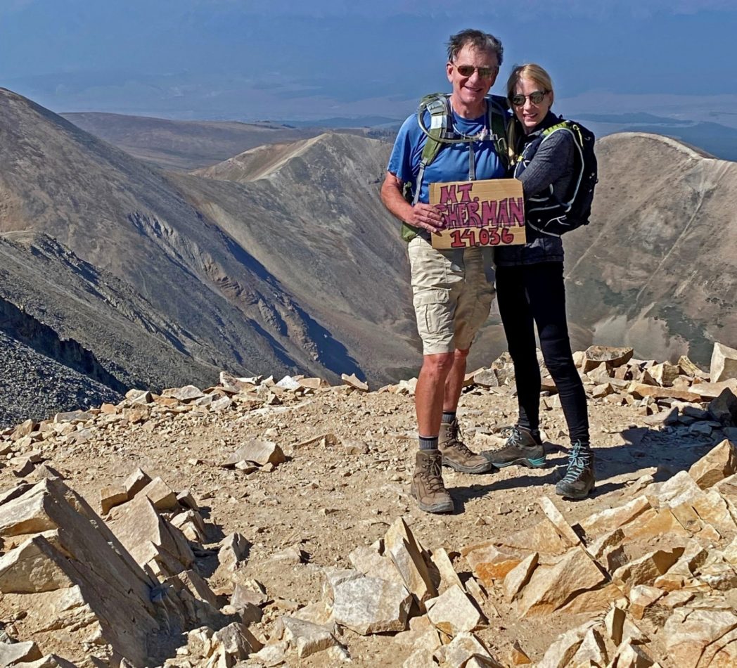
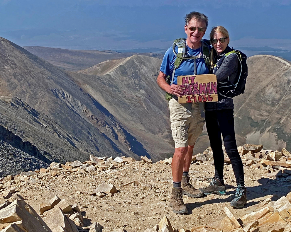
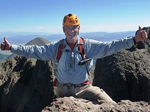
Ah, sweet success, Summit Mt. Sherman at 10:25am. Mona had done a few fourteeners in earlier years as an adventurer, but this was a sweet time when we could still do one together. She had no problem. I had used oxygen on the way up, but not at summit or the way down. I have a great climbers' oxygen setup for anyone interested in the info, but it does add pack weight.
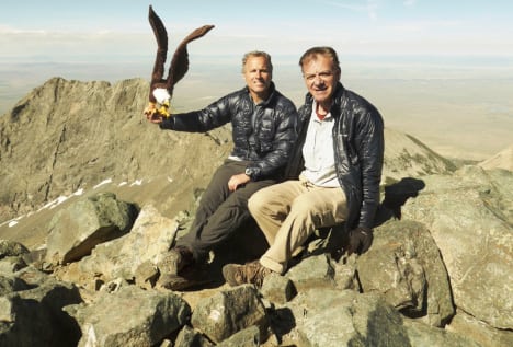
We stayed quite a while at summit and chatted with a few others who were there as well. Mona promoted my 14er background to two other parties who wanted to do more and then next thing I knew she had me give my book card to them and I think sold two books!
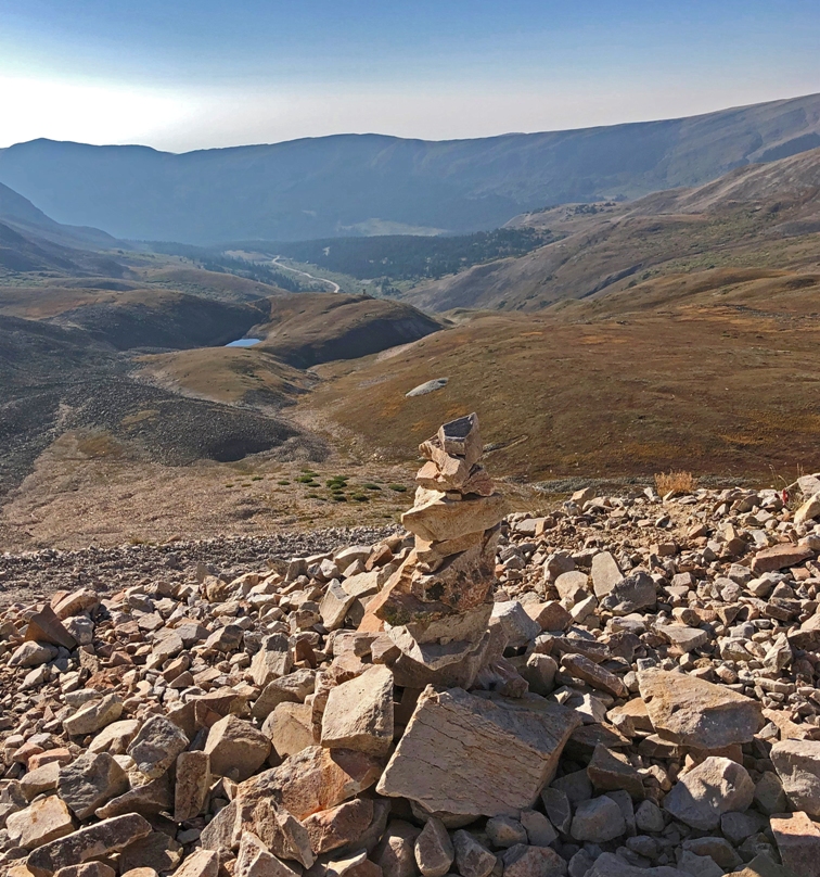
We started down at about 11:15am, following cairns but occasionally getting confused as there are several trails through the rocks.
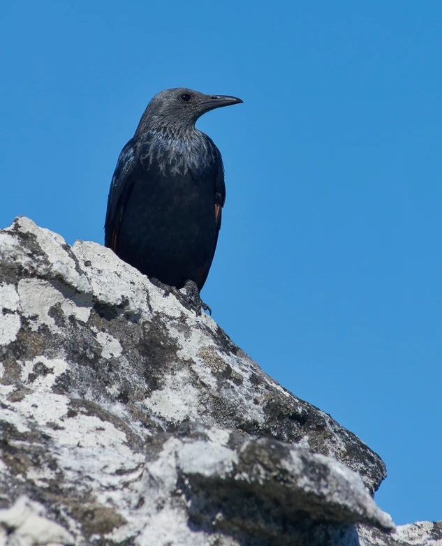
At one point, we started heading down what would have been too soon, when a crow perched on a rock that we should have been rounding first, started crowing at us like mad - as if telling us we were screwing up -
Caw caw caw - not that way you idiots, this way!
So we changed direction towards the bird, and sure enough the bird was right.
Now that's funny, but it happened. 😊
I love noticing cloud patterns - Mona just caught this one - see the bird in flight?

Right at 2:15 pm after much time at summit, a stop for lunch and a great hike down, we were back at the car and road. So happy.