
Difficulty: Class 1/2
Trailhead: West Willow Creek
Start: 11,600 feet
Summit: 14,014 feet
Total Gain: 3,400 feet
Round trip: 11.5 miles
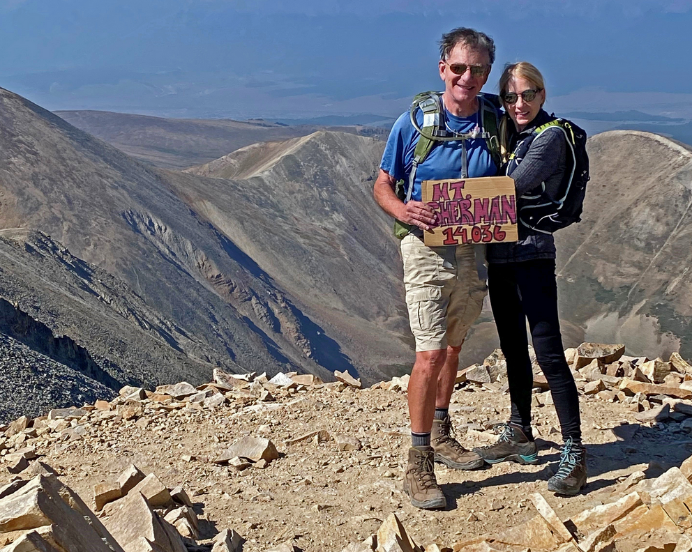
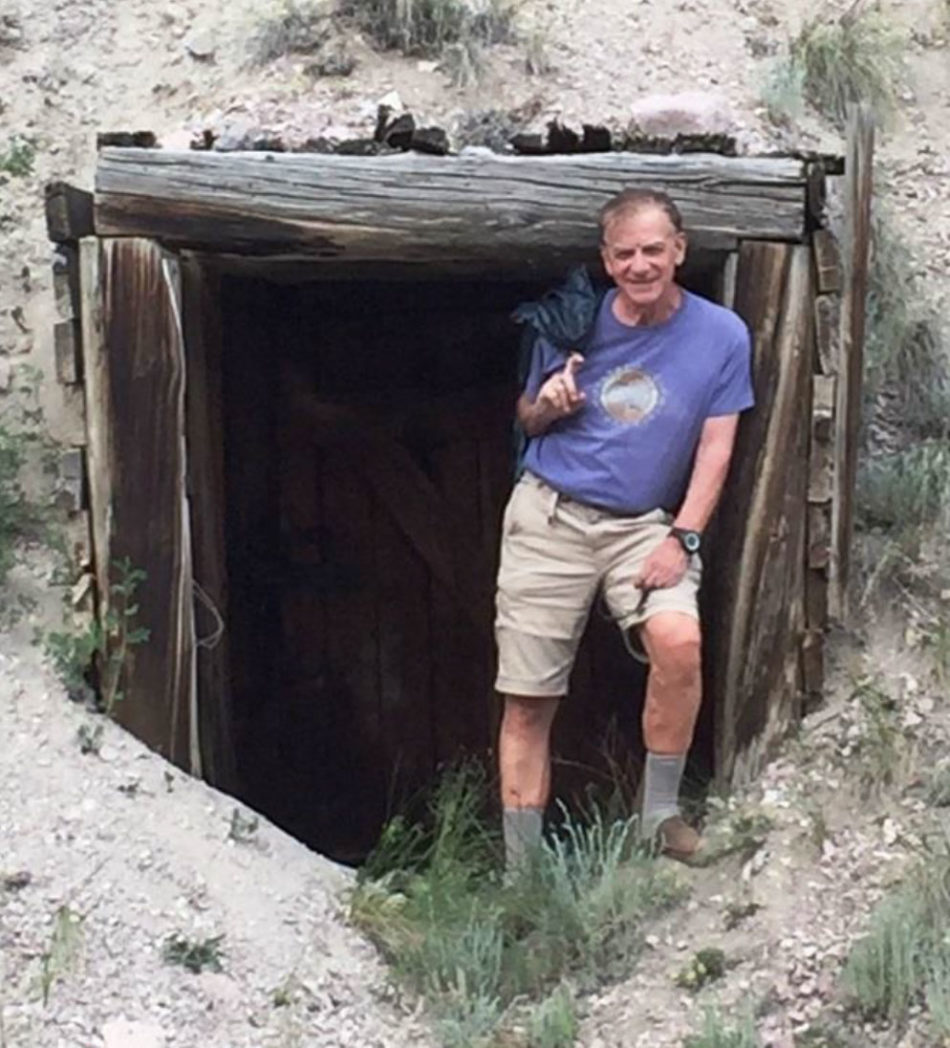
Climbers: Rick Crandall and Donna Slade – July 6, 2017
San Luis Peak is not difficult, but it's also not a piece of cake, especially for those who are not wild about losing hundreds of feet of elevation gain several times up and down saddles. I don't recommend it as a first 14er, but I was looking for a climbing partner to start the summer, and friend Donna Slade was already a veteran of two prior 14ers, so we paired up for this one.
I didn't think this would be much of a story, unless maybe we ran into a mountain lion or a charging moose - BUT, careful as I am with weather forecasting, after 53-fourteener summits, we got electrified AT SUMMIT in a shockingly-fast gathering electrical storm. The only other time in my life I can recall being this close to possible death was on a Galapagos dive with my son (see "Defying Death at Darwin's Arch" in the story at: www.rickcrandall.net/galapagos-diving-hammerheads-orcas-and-riding-a-whale-shark ).
But this summit experience is for later in the story.
San Luis Peak - a much better approach
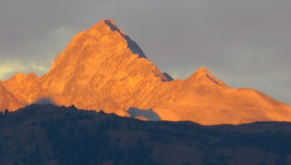
San Luis Peak gets its name from the San Luis Valley in which it is the highest point. The San Luis Valley lies between two chains of mountains, the San Juans to the west and the Sangre de Cristos to the east. The Rio Grande River begins here. The San Juan range is surely the most majestic and beautiful of all the Colorado ranges. They were formed millions of years ago from volcanic activity. They are weather-carved from hardened-volcanic ash resulting in some of the most amazing and rugged shapes. The San Juan volcanoes produced 2000 cubic miles of ash and were 15,000 times the power of the Mt. St. Helena eruption.
From Summit Post: San Luis Peak is Colorado’s 51st highest peak and is most noted for being one of the most remote of the 14’ers to get to. You have to want to climb this one to make the effort to get there. Because of its isolation from any major city or town, few people venture into this neck of the woods. San Luis Peak is most likely the least-climbed fourteener in Colorado.
I think that is the prevailing opinion because the so-called "standard route" to climb this mountain is by its northeast ridge. This entails overnighting in Gunnison and then making a two-hour, 45-mile dirt-road ride in the dark of the early morning just to get to trailhead.
But instead, do what we did. Drive to a lesser-known jewel of a town called Creede and get to a nearly-unmarked trailhead to climb up-and-down 3 saddles and then up the South Ridge of San Luis Peak. Creede is awesome and this route is more beautiful.
Creede
You may well want to visit this town even if you don't go for the 14er! Creede is located in the Upper Rio Grande Valley. For decades that area was the province of the Ute Indians, but when the Denver & Rio Grande Railroad reached Silverton (see /sunlight-peak-a-beauty-in-the-san-juans/ ) in 1862, travel and exploration of the San Juan range ramped up. Then the 1889 discovery of a hefty-sliver deposit by Nicholas Creede at what became the Holy Moses Mine, led to the nearly-overnight boom in that area.
Along with the prospectors came gamblers and ladies of the evening. Bob Ford, reputed slayer of Jesse James, opened a saloon as did Bat Masterson. In 1893 the Creede area had an estimated population of 6000. Today after several bust and recovery cycles, Creede is a community of 380 people. In the 100 years of mining in the area an estimated 5 million tons of ore were removed from 180 miles of tunnels in the Creede mines with an estimated value of $700 million in year-2000 dollars.
Creede began as several mining clusters in the narrow canyon where some deposits were found and became 6 miles of slapped-together wooden structures and houses suspended precariously over pole foundations oblivious to the threats of spring floods. As the town grew it pushed out of the canyon to wider ground where it is centered today.
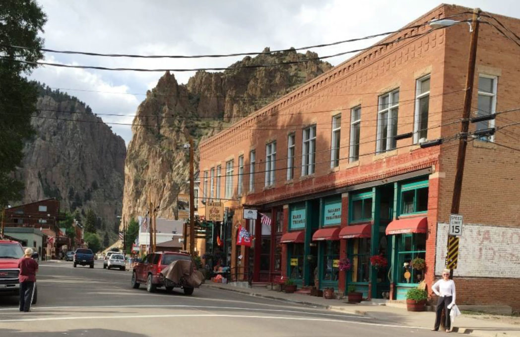
Donna is on the right at a partial view of Creede looking north into the beginning of the canyon road where incredible remains of huge mining structures line nearly vertical cliffs. This road leads straight to CR 503 which is the 9 mile drive to our trailhead.
Creede is once again on the rise as a destination for outdoor enthusiasts (Trout fishing, hunting, and hiking) and plenty of art forms including the Creede Repertory Theater, founded in 1966 and more recently ranked as one of "the 10 great places to see lights way off Broadway."
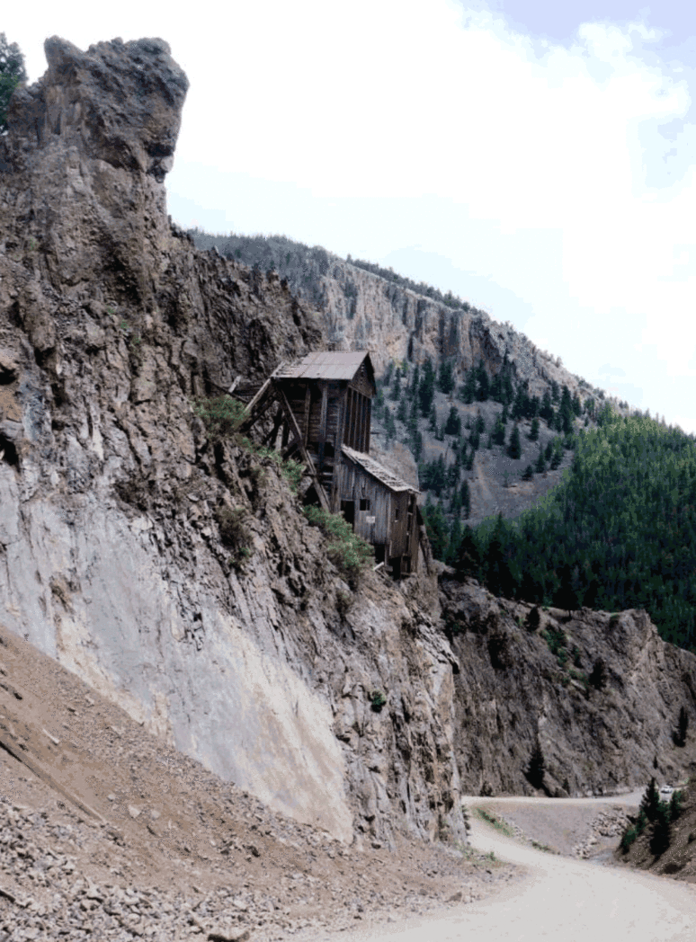
This is what I'm talking about ... how would you like to be in those structures on the walls?

Remember these photos - this is the "road" we would drive up, in the dark at 4:30am the next day.

Creede is also benefitting from a passionate revival financed and managed by the Augur family who have created, and are continuing to create unique individual homes and rental cabins that just make you happy to see and experience. We were fortunate to meet Julie Augur whose primary residence is in Aspen, but has spent lots of time in Creede working with her son Avery to create these amazing cabins in a cluster called Windsock Acres.
Here are just some of the houses and cabins, using local artists and carpenters to create some of the happiest, most whimsical structures.


Here are some of the Augurs' sponsored creations.
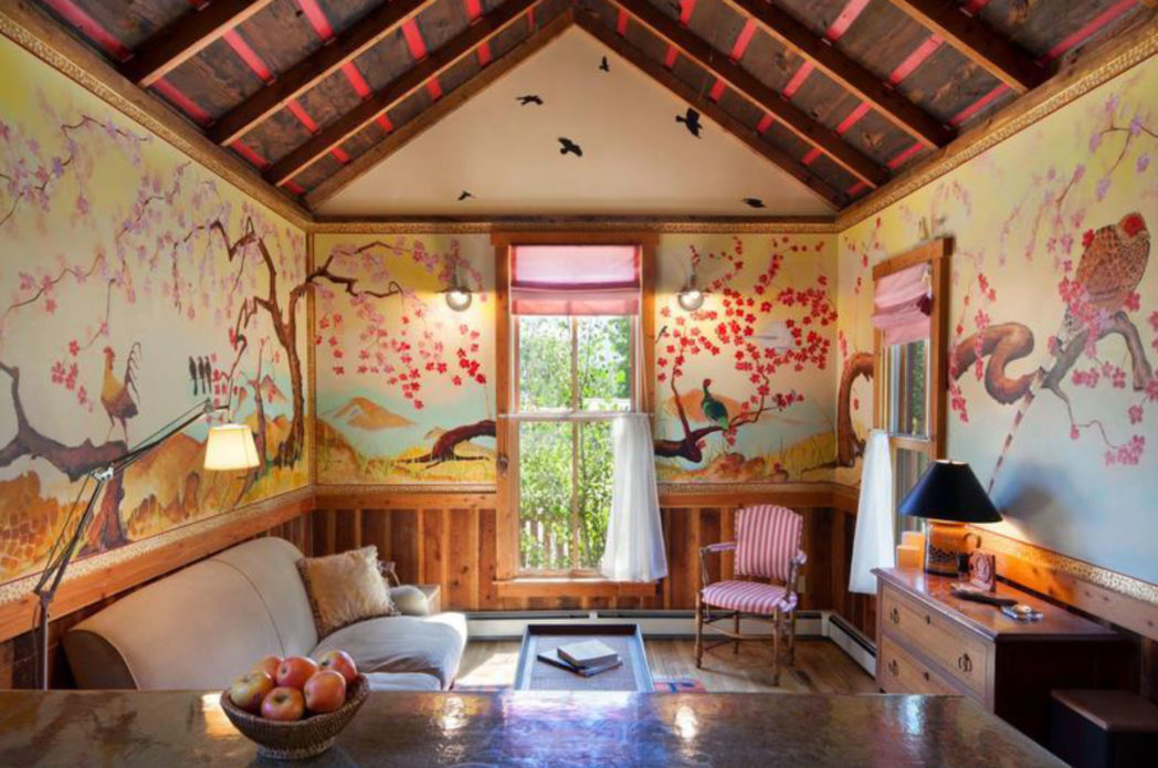
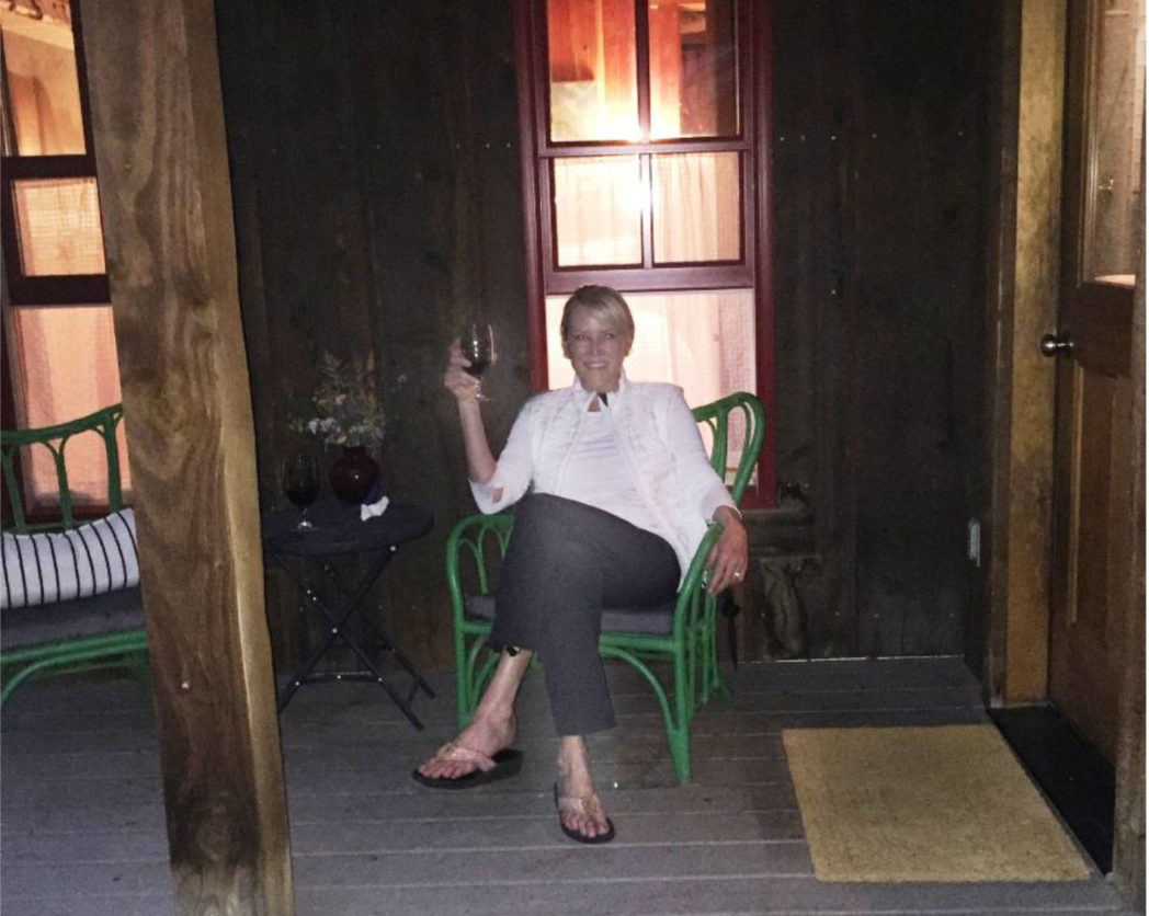
Our cabin is below, called the "Cajun."
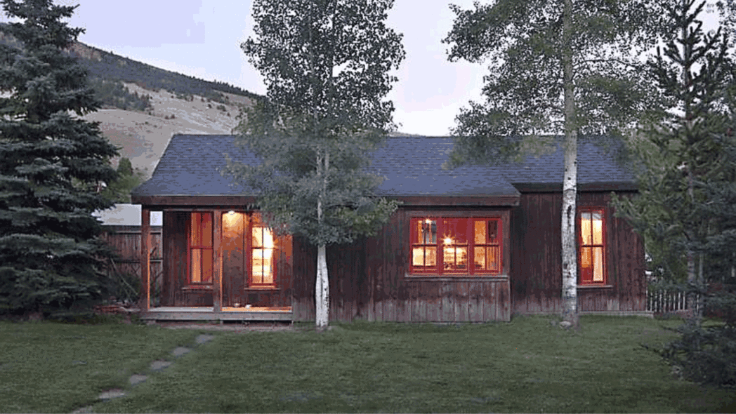
And here is the Cajun's amazing main-room interior!
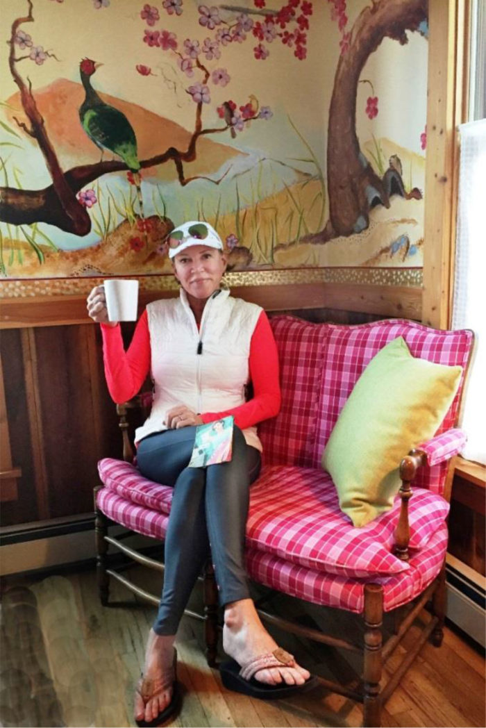
That napkin on Donna's knee says
"I love not camping!"

The artistry of the Cajun cabin brings a smile of appreciation - even the light switches were carved bird feet protruding from a bird house!
The Climb
Now time for the adventure. I was watching the tricky-weather patterns around the high peaks. Usually the monsoons would have started by now - hot, humid air coming up from the south and rising up the high mountains creating convection - rain and electrical storms. But for the past few weeks the whole of the western states were under a high-pressure ridge called the "Heat Dome" which was trapping amazing heat underneath - 122 degrees in Palm Springs and averaging above 105 degrees for weeks in Las Vegas. In our mountains it meant water was trapped under the ridge and was releasing storms every day in the afternoons.
My plan was to avoid the problems by having us start very early, summit by 10am and be back in the trees by the time things got electrical. If you've read some of my prior stories, you'll know that not much scares me but the prospect of being way above tree line in an electrical storm is indeed scary even for me. I've turned around before summiting on over a dozen attempts around the state because of spotting storm cells in the distance.
A quote from Gerry Roach's highly-acclaimed book Colorado’s Fourteeners from Hikes to Climbs is worth repeating.
"Colorado is famous for apocalyptic lightning storms that threaten not just your life, but your soul as well. This will have special meaning if you have ever been trapped by a storm that endures for more than an hour and leaves no gap between one peal of thunder and the next. The term simultaneous flash-boom has a very personal meaning for many Colorado Climbers"
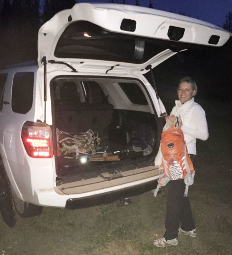
Donna and I arose at 4:00 am, downed a coffee and a bit of granola, and were off on that narrow-mining road in the dark by 4:30am. For those who want to go for this climb, here's the first bit of advice that is different from what you'd read in various trip reports on the Web. I do a ton of research, but this is not the standard route, so less information is available.
Head out of town right past the mines and into the canyon. You won't see much in the dark. You'll be on CR 503 which is a good dirt single-lane road. As you travel, avoid any left turns, stay straight or slightly right for miles (it is a total of 9 miles to trailhead). You will eventually bump right into a mine, with a sign identifying Midwest Mine. On the left is a sharp left turn, take it. The road gets worse, best for a 4WD with good clearance. Take this all the way to the Equity Mine, actually just 50' before the mine there is a hairpin left and take that. The road gets worse but passable navigating ruts, streams and boulders. There's a natural stopping point where you'll see two upright sticks and that's the only indication of trailhead. There's enough room for maybe 3 or 4 cars to park.
By the time we found our way, parked and packed up, it was 5:20am, a bit later than I wanted to start, but we were relieved we'd found the right starting point after ignoring a bunch of conflicting directions.
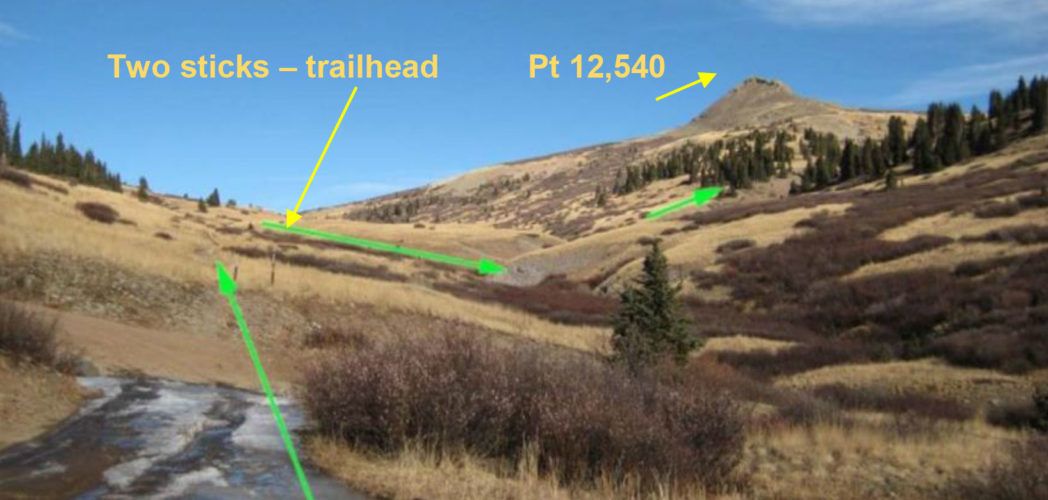
Here is the next really important piece of advice. The most obvious feature even at dawn or in moonlight, is a point up to your right, Pt. 12,540. You want to make sure you pass it on its east side, that is, when facing it, pass on the right. You will find a trail juncture soon after the trailhead that looks like this in the daylight:
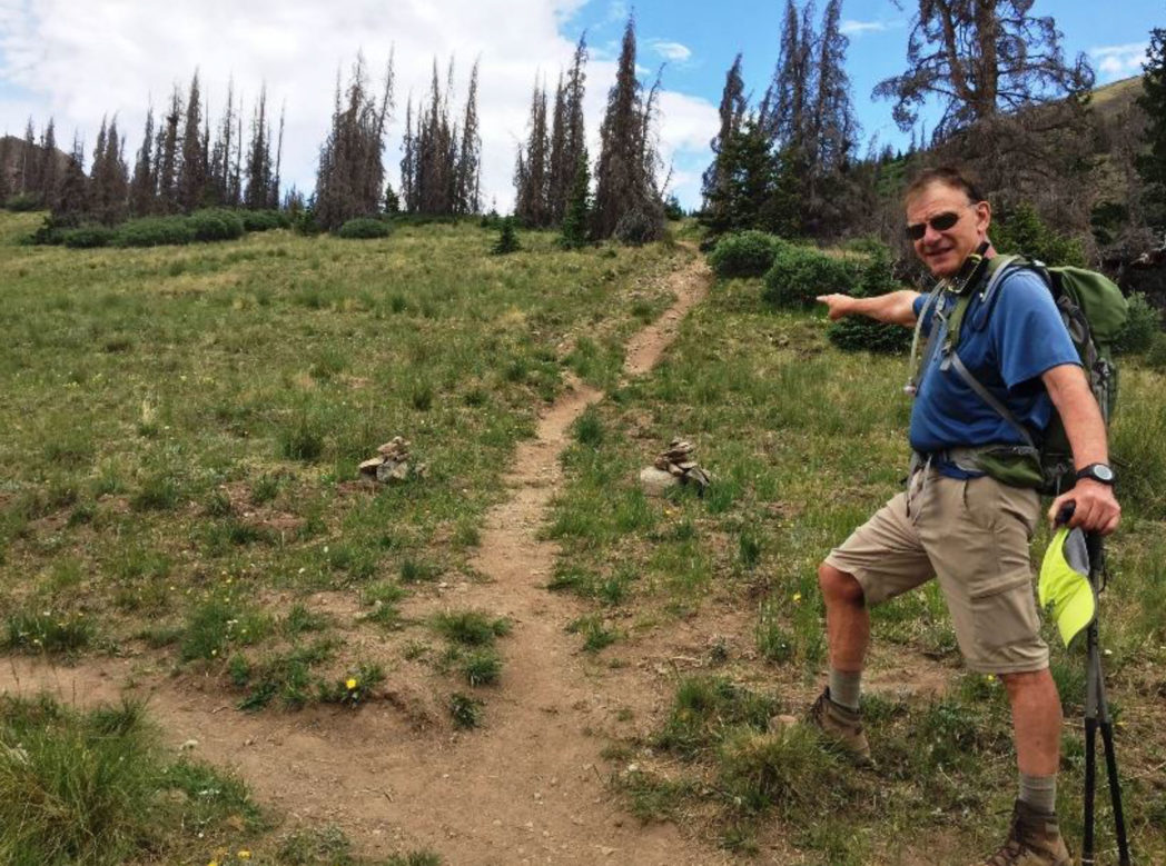
In the dark with headlamps, the path to the left looks like the main path. Don't take it. If you do you will add 1.5 miles and some elevation gain to circle around the Point. Take the trail to the right which is steeper but more direct and tops out on a saddle at 12,300' where you'll see a crossing trail. That is a segment of the well-known Colorado Trail. This is a great trail that you stay on, up and down for two more saddles.
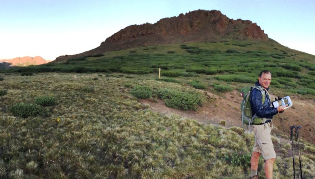
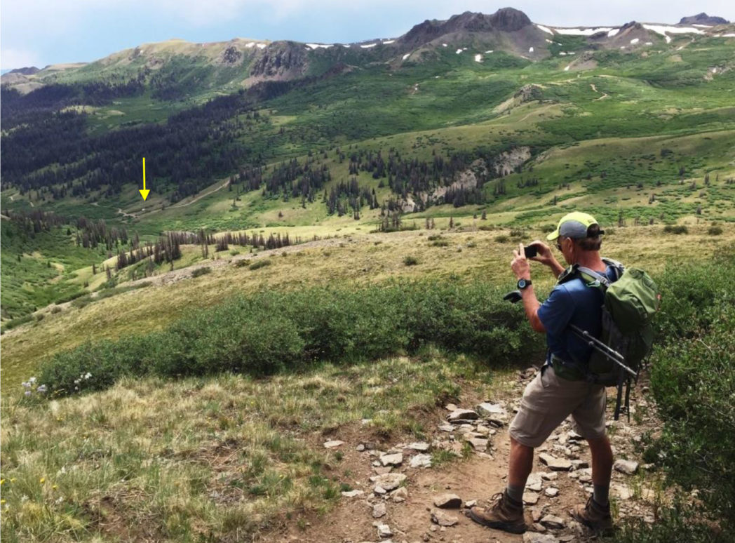
Rick checking correlating images at the first saddle. That is Pt 12,350 above and sunrise on the distant hills. The post marks the Continental Divide Trail also known as the Colorado Trail.
The next objective is a somewhat depressing 500 - 600' down-climb, through some woods and heading left to a second saddle at 12,400'
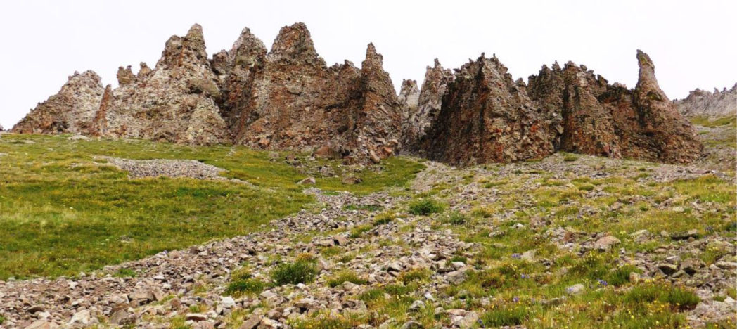 Weathered, hardened volcanic ash - looks like a serpent.
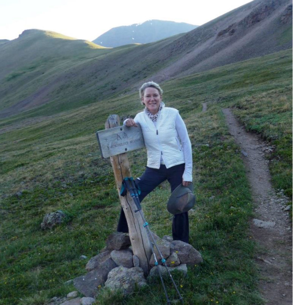
Donna passing a sign that says Bondholder Meadow. The second saddle is above her.
From the second saddle, it's another 200' descent and then back up to a third saddle at 12,600'.
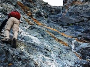
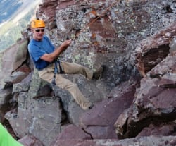
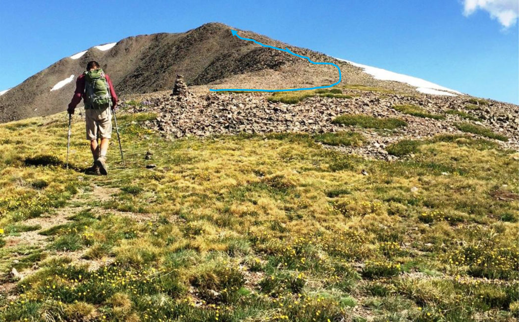 Rick at the third saddle finally heading towards the South Ridge. Technically speaking this is where the actual climb of San Luis Peak starts. The path gets thin but the cairns are well-placed and obvious. The summit approach is not visible from here. This is where you leave the Colorado Trail which leads to the right down from the saddle.
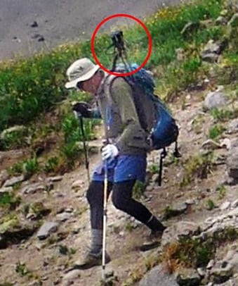
 Rick heading up the South Ridge
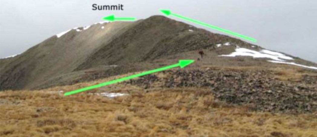
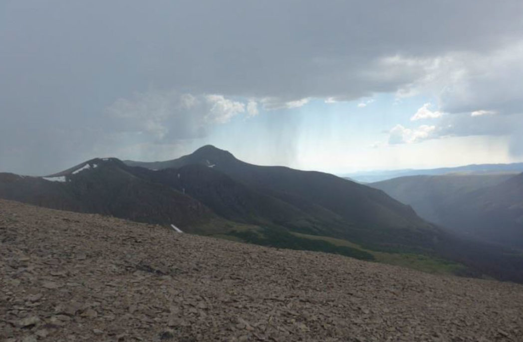
The actual summit finally comes into view, but it is still a significant, and rockier ridge-walk away.

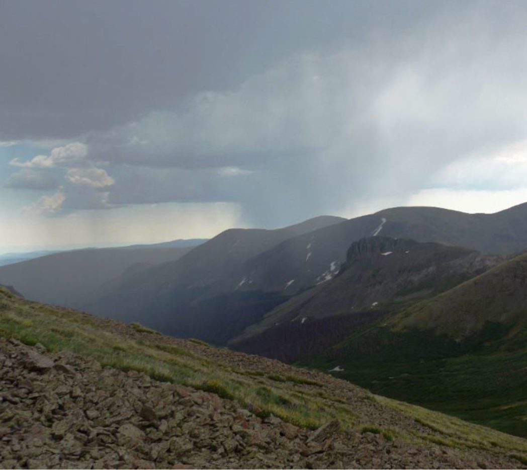
Rick heading up the final approach to summit. Note the sky is still blue, and the few clouds are white and puffy. According to my InReach GPS tracker this was about 9:45 am - I was happy we'd regained the time to get to summit at the targeted 10 am.
15 minutes later there we were at summit of San Luis Peak, 4 hours 40 minutes, 6 miles, 3 saddles and two ridges from trailhead! There was a built-up stone wall at the summit.
Electrical!
Donna took off her pack as I pulled out my camera and then all hell broke loose. I had heard that convective weather can build rapidly, but literally out of nowhere a massive cloud formed in a compact cell and was clearly electrical, looking for discharge. The sky was still blue in places, but this cloud was looking for the closest place to ground, and there we were exactly the highest point for miles right at 14,014' summit.
All kinds of things started happening. Our hair was charged, we were getting shocks - Donna screamed, picked up her poles by the metal and got a jolt through her hands and arms. I was holding my poles by the rubber handles and got a charge right through them - about the power of sticking your fingers in an electrical socket.
And then there was the sound that I'll never forget. It was like a mix between static, crinkled paper and frying in oil, really loud and enveloping us.
Only Donna can describe the depths of fear she was feeling. She threw down her poles and first crouched down (which does no good at all on a summit) and then yelled she was going to run for it (which was the right instinct).
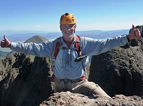
 Summit San Luis Peak, 14,014' at 10:00 am!
Donna at the summit rocks, a look of total fear on her face.
I had a different reaction which I admit is probably a bit crazy. I knew the cloud was discharging but hadn't gathered to a finite lightning bolt yet. I thought there was no way we were going to survive this without some kind of summit photo, so I just pointed and shot my camera once and then simultaneously took off with her.
I can remember clearly thinking as I was running down rocks and boulders, "if lightning strikes we have no hope, so why worry about it - just focus on moving off summit, running down rocks without falling and staying behind Donna if she falls or needs help." I actually believe that about any crisis in life - pick the tactic most likely to work, execute deliberately and hope it succeeds before the crisis gets catastrophic.
It turns out Donna ran down those rocks like a ballet dancer. She barely touched the tips of the rocks and flew - her hair was straight up. We continued to get shocked from discharges all over our bodies. If I looked right I saw blue sky. Looking left I saw more than one storm and the first actual lighting flash with immediate thunder. The immediacy of the timing between lightning and thunder said what we knew, the storm was on top of us.

We came upon a 5' wall of rock and I told Donna to pause. My thought was to crouch below the wall and wait it out. Then I looked out and saw quite a sight - four other storm cells ahead of us and threatening to merge - all of them electrical. I couldn't imagine that especially at 10 am in the morning. It was immediately apparent to me that this wasn't going to be a short one-cell flyby. The high-pressure ridge governing the weather was trapping these storms pretty much where they were - just building with convection.
I yelled for Donna to get a shot of me with the summit behind, and then we took off - I mean we ran down that entire ridge, electrical charges were on all our surfaces, storms thundering repeatedly.
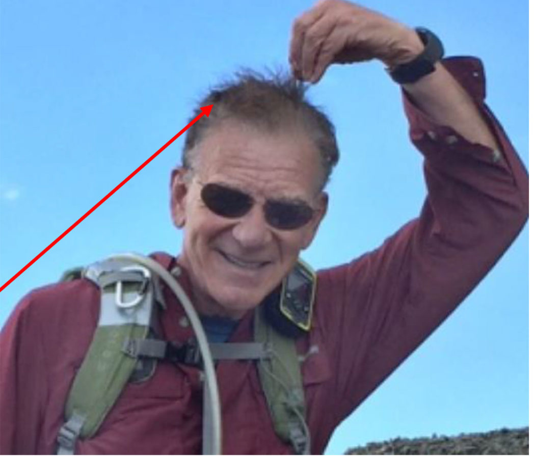 Note my hair standing on edge! I'm thinking - Awesome, this is great for the story!
Donna yelled "when are we safe?" I yelled back "not even close until we get back to the third saddle and part way down its side."
I gave Donna one of my poles and we flew. Unbelievably a couple ran past us up to summit, undoubtedly thinking they were so close. That wouldn't have been my decision.
Once we got to the third saddle another very strange thing happened. The five storm cells surrounded us but did not rain on us. It was as though we were in the eye of a hurricane - calm, peaceful and every now and then the sun even shone through on us.
We continued at a more relaxed pace over the second saddle and as we were heading down from it, lo-and-behold the couple that had proceeded to summit were on their way down - really fast - and caught up to us.
Guess what? The guy found Donna's poles and had put them in his pack with the points sticking up!!! Now I can't imagine a better lightning rod, but while they did get the discharges we'd gotten, they somehow escaped getting hit with a full bolt.
We chatted with them - seemed like hardy types, from Minnesota - maybe they don't get electrical storms out there but they sure flirted with death to get this summit.
 Donna jubilant with her poles retrieved by this Minnesota couple.
So there we were, already halfway down the mountain, all equipment in hand, and storms all around but not on us. We were descending in a more relaxed pace and mentally preparing all our celebrations of life that were to come when we were down.
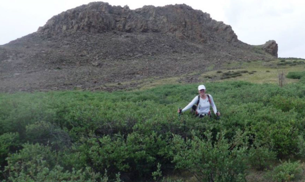
We got back to the first saddle. We knew we had to traverse that Pt 12,350 on the East side, but we couldn't find the cut off the Colorado Trail that we'd used on the way up. So we bushwhacked - here's Donna pushing through the very grabby willows.
We did then find the trail down to the car.
And there was our trusty white 4Runner awaiting our last push down from the first saddle.
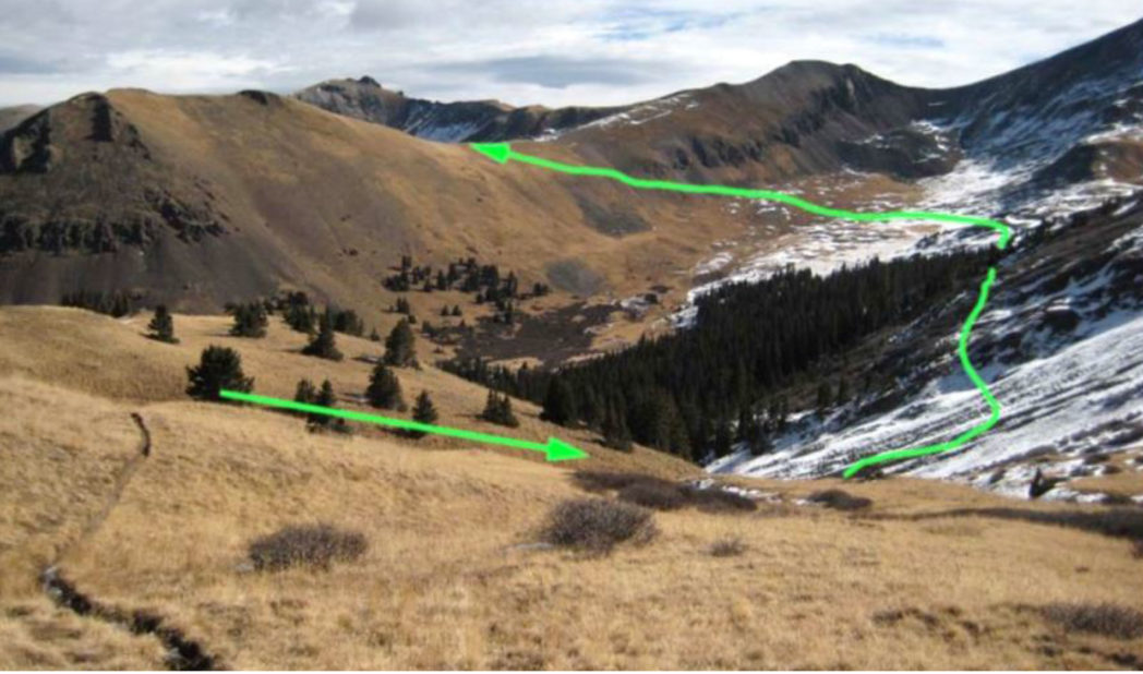
 Our whole route as tracked by my DeLorme Inreach GPS
We got back to the cabin at 3:00pm, after nine hours of climbing - Donna made the command decision that we weren't even going to try to make the 4-hour drive back to Aspen, so we stayed in the cabin for the second night to head back the next day.
That evening we celebrated the adventure and the escape from electrocution by booking a dinner at the Antlers Restaurant, the best in the area, just outside of Creede. Our good friend Dennis Cirillo, who watches my real-time GPS track on each climb, called to get the story. He casually asked where we were dining.
When we got to Antlers, we relaxed at the bank of the Rio Grande River and to our total surprise the hostess showed up with a bottle of wine and two glasses, with the note:
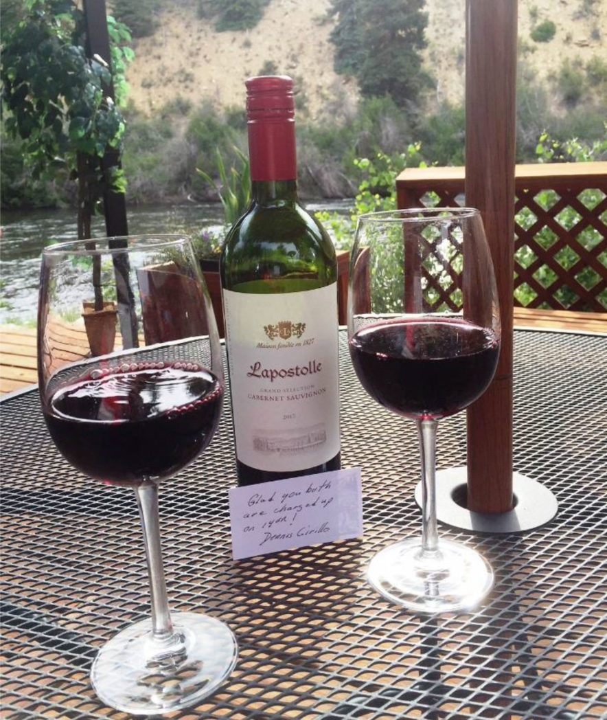 "Glad you both are charged up on 14ers!" Dennis Cirillo
Well, I had told Pamela that I hoped for something to make an adventure of this climb. She said: "be careful what you ask for." I said, "maybe we'll come across a mountain lion."
She just rolled her eyes 🙂