
Difficulty: Class 2
Summit: 14,309 feet
Elevation Gain: 3,000 feet
Roundtrip: 7.25 miles
Trailhead: Nellie Creek at 11,400', overnight Lake City
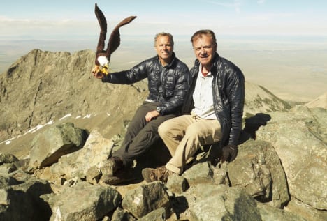
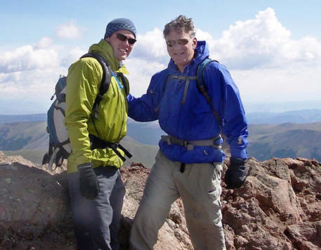
Climbers: Rick Crandall, Brett Crandall August 16, 2008
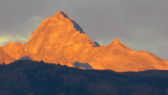
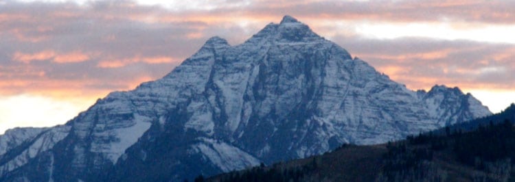
Uncompahgre is the highest peak in the San Juans. The mountain stands by itself and has long been recognized for its scenic beauty. In the 1930s the area was included as one of the Forest Service's original Primitive Areas. Like all the San Juans, it was created from volcanic action but not a volcano. Uncompahgre is a Ute Indian word that means “hot water spring”.
We drove from Aspen to Lake City, a great original western town among several such as Fairplay and Ouray. We awoke early, drove to and then up the rough 4WD road to the trailhead for a 5:30am start – we thought to beat the weather. We wanted to be sure we were off the summit by noon.
What actually happened is that just as we parked the car and were ready to head up at about 6 am, rain and sleet descended upon us. So we stayed in the car for maybe 15 minutes, got bored and decided to hike in the rain. We figured that we were starting at 11,400' so we were in the trees for the first 400' of elevation gain, which gave us some cover. We got lucky - the rain soon stopped and didn't bother us again for the whole time we were out.
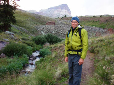
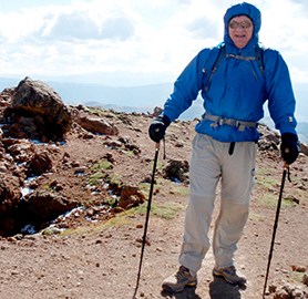
Brett at tree line with distant view of Uncompahgre Peak
The streambed we followed is littered with volcanic boulders that have rolled down from an ancient lava flow above the south side of Nellie Creek. These strange pock-marked boulders are the result of sputtering around the volcanic vents, where gobs of relatively cool putty-like lava piled up and hardened into loosely packed mounds of basalt.
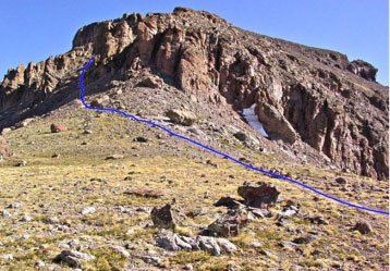
Closer view - the route is up the left (west) side.
The hike across and up the meadow was a beautiful approach all along the way.
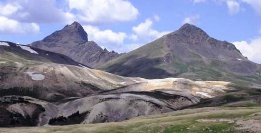
A stunning view off to the west: Matterhorn (right) is a thirteener and Wetterhorn (left),
a great Class 3 & 4 fourteener (see /wetterhorn-peak-a-class-3-4-adventure-with-andy-mishmash/ )
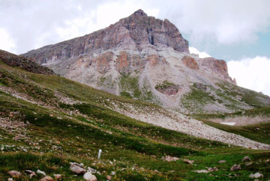
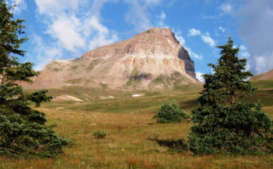
Pretty view of the cliff side of the peak. The route is up the steepening hill to the left.
The Class 1 hiking ends at the ridge at 13,750' where the rocky summit cap begins. The winds got strong which is often the case as one gets to ridges, saddles and summits. Sometimes they can be fierce and even knock you down. On this ridge it just made things a bit cold for a while.
Rick at the ridge at 13,750'
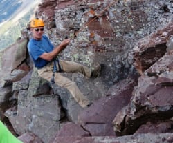
At the ridge - about to climb the west face.
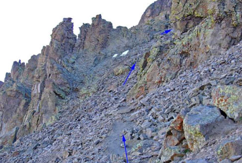
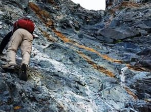
The west face is pretty much the crux of the route - maybe Class 2 Difficult
The west face is about 150' of steep, loose rock above which it gets easier the rest of the way to the summit.
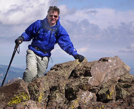
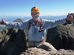
Rick approaching the windy summit.
Summit Uncompahgre Peak, 14,309' at 10:20 am, 4 hours from trailhead
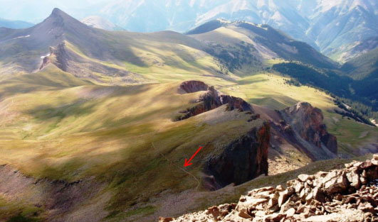
View west from the summit: the arrow points to the route up;
Matterhorn is to the rear left.
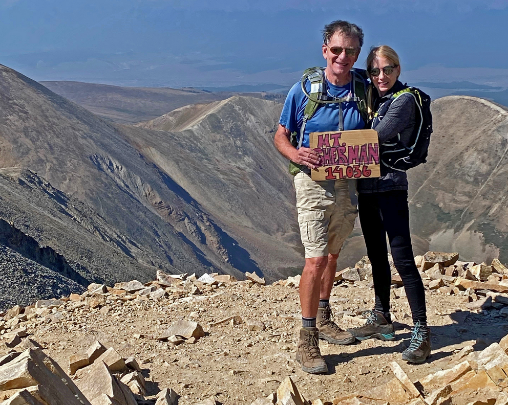
The San Juan range sports thirteeners and fourteeners with rugged beauty, whether you drive through them from Ouray, hike through them or climb them. It was special for me to summit this day in the San Juans with my son Brett.